National Atlas of Hungary - Antecendents

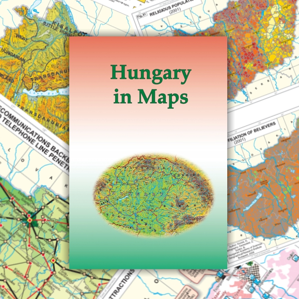
Kocsis K. – Schweitzer F. (eds.) 2009. Hungary in Maps. Geographical Research Institute, Hungarian Academy of Sciences, Budapest.
This relatively small-sized atlas (21 x 29.8 cm) gives an overview of the contemporary natural, social and economic state of Hungary in English for an international readership. The Geographical Research Institute of the Hungarian Academy of Sciences published it on the twentieth anniversary of the democratic transformation in Hungary, the tenth anniversary of Hungary 's accession to NATO, and the fifth anniversary of Hungary's joining the European Union. The publication also formed part of a series of regional atlases on Southeast Europe and Ukraine. The 211-page atlas was made using digital technology, and the ratio of texts and maps was about 2:1. The topics of nature, economy and society were given similar weight and importance on the 142 maps. Unlike the former national atlases, this English language “business card” of the country offered new ways of presenting a range of subjects to satisfy domestic and international interest in Hungary. Such topics included ethnicity, politics, urbanization, commerce, telecommunications, and tourism.
Book review: László Bassa: Hungary in Maps. (in Hungarian) Published in Földrajzi Közlemények (Geographical Review) 133/3. 364-365. (2009) (PDF, ~600 KB)
Content
Click on the chapters to access the full text!

