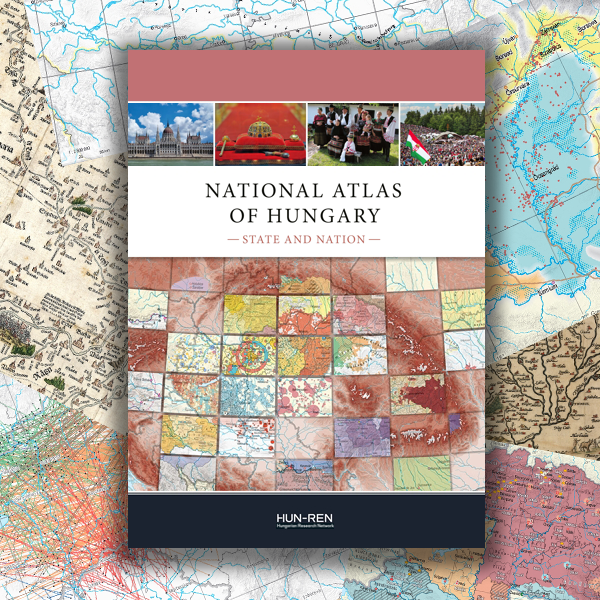
Károly Kocsis (Editor-in-Chief) 2024. National Atlas of Hungary – State and Nation. HUN-REN Research Centre for Astronomy and Earth Sciences, Geographical Institute, Budapest.
The National Atlas of Hungary (MNA) was first published in 1967, and a second edition followed in 1989. Published in both Hungarian and English, this third edition of the National Atlas presents, in four volumes, the dynamic spatial structure of nature, society and the economy in Hungary and – wherever the required data are available – in the broader Carpatho–Pannonian Area. In the spirit of open access, the printed version is complemented by a complete, searchable version online (e-MNA at www.nationalatlas.hu).
A national atlas is the given country’s ‘identity card’, one of its most significant national symbols in addition to its flag, coat of arms and national anthem. It is usually a series of maps complemented with textual explanations and various illustrations, which show the country’s natural, economic and social features through logically and proportionally constructed maps using a well-defined scale and fairly uniform cartographic iconography.
After the volumes on the Natural Environment (publ. 2018) and Society (publ. 2021), this volume of the new National Atlas of Hungary focuses on the Hungarian state and nation. Tracing the roots of historical phenomena, the publication explores the characteristics and spatial dynamics of the state and nation. The thematic maps inform about such diverse topics as the surveying and mapping of Hungary, the inhabitants of the Carpathian Basin before the Hungarian conquest, the administrative geography of Hungary in the past and present, changes and fluctuations in the territory of the Hungarian state and nation, the structure of traditional folk culture, the spatial aspects of Hungarian dialects, political and social activity in the country, international relations, and the geography of Hungarian talent. The illustrations in the latter chapter give insights into the spatial distribution of Hungarian talent, the places of education of the country’s academics and scientists, the destinations of Hungarian émigré scientists and artists, the distribution of Nobel Prize laureates and Olympic gold medallist by country, the birthplaces of Hungarian Nobel laureates and Olympic champions, and the successes of Hungarian Oscar winners. Included among the brand-new maps are several showing the destinations of Hungarian football coaches, musicians, and inventors who achieved success abroad.
On behalf of the several hundred contributors, we express hope that readers in Hungary and abroad will enjoy the pleasures and benefits of browsing the printed atlas or its online version. We trust that this (third) volume of the National Atlas of Hungary will enhance knowledge and
understanding of the Hungarian state and nation.


