National Atlas of Hungary - Antecendents
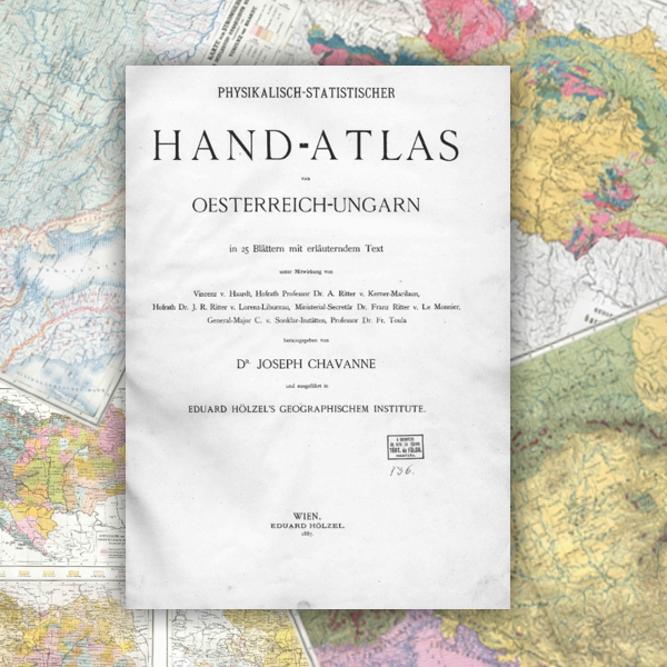
Chavanne, Joseph: Physikalisch-Statistischer Hand-Atlas von Oesterreich-Ungarn. Hölzel, Wien. (1887)
The atlas followed by a few years the publication of its German model (Andree, R. – Peschel, O. 1878. Physikalisch-Statistischer Atlas des Deutschen Reichs, Velhagen-Klasing, Bielefeld-Leipzig). This thematic atlas (32.5 x 49 cm in size) was first published in booklets and on sheets respectively between 1882 and 1887, then in a single volume in Vienna in 1887, presenting the physical geographic and social-geographic (“statistical”) aspects of the Austro-Hungarian Monarchy. This atlas, published in German only, contains 50 pages of maps (20 maps at 1:2.5 million and 20 maps at 1:5 million) and 68 pages of explanatory text accompanied by numerous statistical tables). Nearly half of the map pages concern the natural environment, almost a third deal with population, and a seventh with the economy. The rest of the maps present political and administrative subjects. Although this Austro-Hungarian atlas was a pioneer publication in those years, it cannot be considered a national atlas in today's sense in view of its thematic and methodological shortcomings. However, it might be seen as the first milestone in the development of Hungarian national atlases.
1 Andree, R. – Peschel, O. 1878. Physikalisch-Statistischer Atlas des Deutschen Reichs, Velhagen-Klasing, Bielefeld-Leipzig.
Book review: Review by István Hanusz in five parts, published in: Földrajzi Közlemények (Geographical Review) (in Hungarian), 1882. 408–414., 1884. 322–326., 1885. 366–374., 1886. 398–402., 1888. 83–85. (PDF, ~24.4 MB)
Content
Click on the chapters to access the full text!