National Atlas of Hungary

1. State and Nation
4. Economy

National Atlas of Hungary - Antecendents

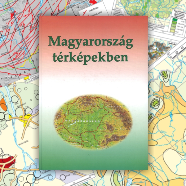
K. Kocsis – F.Schweitzer (eds.) 2011. Hungary in maps (Hungarian edition). MTA Geographical Research Institute, Budapest.

This publication is not just the Hungarian version of the atlas published in English in 2009; rather it is an enlarged, updated, revised and multifunctional edition with the same page size (21 x 29.8 cm). With the addition of new chapters (parliamentary elections, talent geography), the number of pages increased to 248, the number of maps to 165, and the number of authors to 38. This handy and comprehensive atlas aimed to give an overview of Hungary in the early years of the third millennium for the average educated person, for people involved in secondary and higher education, and for decision makers at government level. After the publication of the atlas in conventional printed form, the full content of the atlas was placed on the homepage of the Geographical Research Institute of the Hungarian Academy of Sciences, in this way offering fast (and free) information.

Content

Click on the chapters to access the full text!

7.
 FOREWORD (0.2 MB)
9-20.
 HUNGARY IN THE WORLD (15.7 MB)
21-29.
 HISTORICAL-GEOGRAPHICAL PROCESSES (4.5 MB)
 NATURAL ENVIRONMENT
30-34.
      Geophysics (7 MB)
35-38.
      Geology (4.5 MB)
39-45.
      Relief and landscapes (25.2 MB)
46-51.
      Climate (3.9 MB)
52-58.
      Surface and subsurface waters (1.8 MB)
59-64.
      Soils (8.4 MB)
65-70.
      Flora (8.6 MB)
71-74.
      Fauna (1.4 MB)
75-80.
      Nature conservation (8.3 MB)
81-87.
      Environmental protection (5.2 MB)
 POPULATION AND SETTLEMENT
88-99.
      Demographic features (13 MB)
100-107.
      Ethnicity and religion (8.5 MB)
108-116.
      Parliamentary elections (18.6 MB)
117-120.
      Talent geography (3.5 MB)
121-138.
      Settlements (16.8 MB)
 ECONOMY
139-147.
      General characteristics of economy (5.3 MB)
148-160.
      Agriculture (4.8 MB)
161-175.
      Mining and energy supply (4.9 MB)
178-188.
      Industry (8.5 MB)
189-196.
      Transport (5.5 MB)
197-202.
      Telecommunications (3.3 MB)
203-209.
      Banking network (1.4 MB)
210-216.
      Internal trade (4 MB)
217-223.
      Foreign trade and capital exports (0.7 MB)
224-230.
      Tourism (5.2 MB)
231-239.
 REFERENCES (0.2 MB)
240-242.
 BIBLIOGRAPHY ON THE GEOGRAPHY OF HUNGARY (0.2 MB)
243-247.
 LIST OF FIGURES (0.1 MB)
247-248.
 LIST OF TABLES (0.1 MB)